![]()
Australian National Bushfire and Emergency Map
Live, Australia-wide, fire and other incidents map for all states and territories.
Do not use this app as a warning or alert service. Do not use this app for safety of life decisions. Use it only as a data analysis tool and for seeing a big-picture overview. Information on this app may be more than 15 minutes old.
Incident data is collated directly from official sources: emergency.vic.gov.au - Victoria, rfs.nsw.gov.au - New South Wales, emergency.wa.gov.au - Western Australia, geohub.sa.gov.au, data.eso.sa.gov.au - South Australia, fire.tas.gov.au - Tasmania, and qfes.qld.gov.au - Queensland.

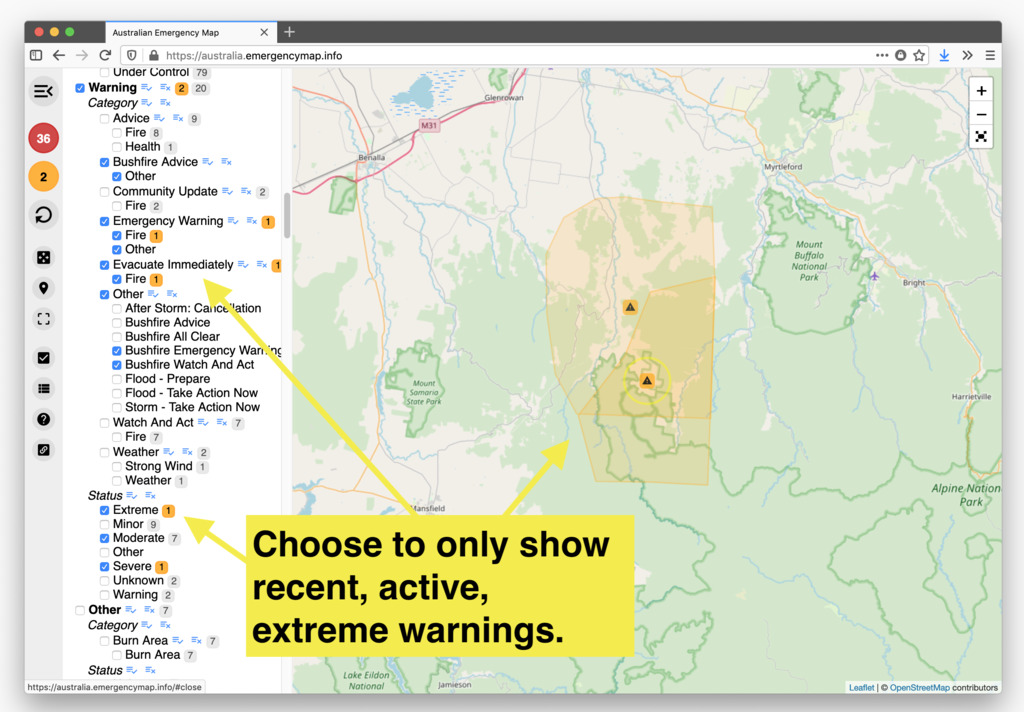
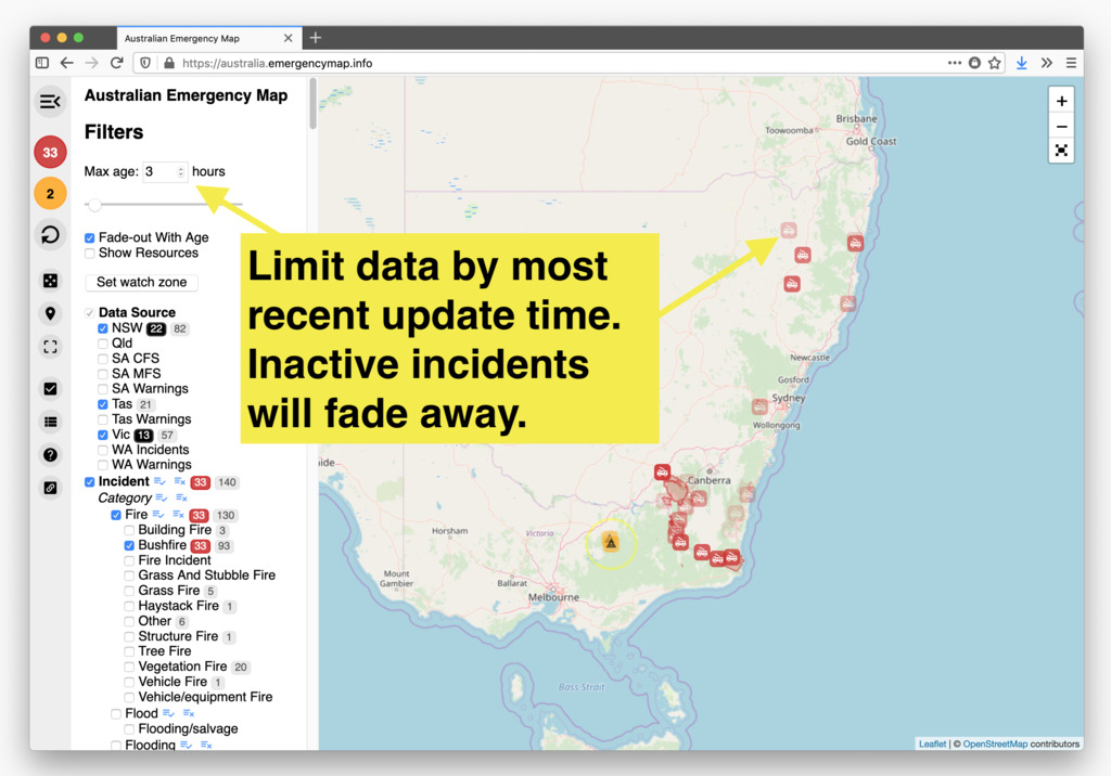
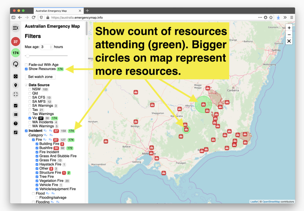
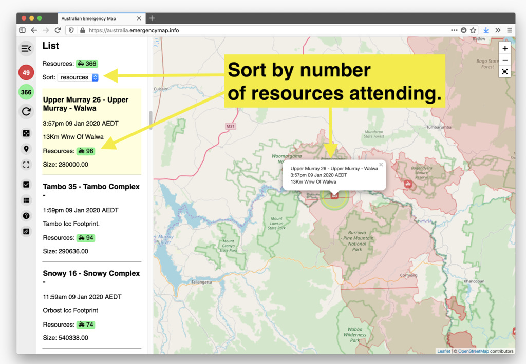
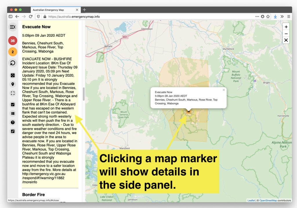
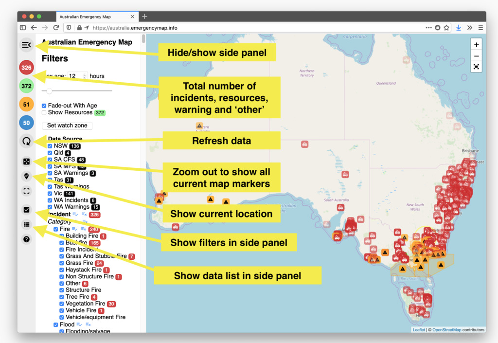
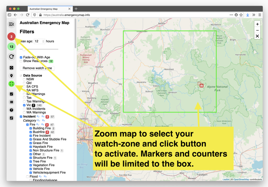
This map is in no way affiliated with any emergency services, state government, official agencies or data sources.
For critical updates and alerts, please go to your local state emergency or fire service:
Victoria (Vic)
emergency.vic.gov.au
New South Wales (NSW)
rfs.nsw.gov.au
Western Australia (WA)
emergency.wa.gov.au
South Australia (SA)
apps.geohub.sa.gov.au
Tasmania (Tas)
fire.tas.gov.au
Queensland (Qld)
ruralfire.qld.gov.au
This is a volunteer-time project effort. Source code is available and feedback or contributions are welcome.
The app layout works best on desktop, but it is also great on tablet or mobile where it can be added to the home screen.
Built with non-commercial, open-source, democratic, free (as in freedom of information), community-controlled software: OpenStreetMap, Leaflet, Vue.js and Firefox.
Email: [email protected]
THE SOFTWARE IS PROVIDED "AS IS", WITHOUT WARRANTY OF ANY KIND, EXPRESS OR IMPLIED, INCLUDING BUT NOT LIMITED TO THE WARRANTIES OF MERCHANTABILITY, FITNESS FOR A PARTICULAR PURPOSE AND NONINFRINGEMENT. IN NO EVENT SHALL THE AUTHORS OR COPYRIGHT HOLDERS BE LIABLE FOR ANY CLAIM, DAMAGES OR OTHER LIABILITY, WHETHER IN AN ACTION OF CONTRACT, TORT OR OTHERWISE, ARISING FROM, OUT OF OR IN CONNECTION WITH THE SOFTWARE OR THE USE OR OTHER DEALINGS IN THE SOFTWARE.